Milos Popovic
GIS Consultant & Product Strategist
I help teams turn spatial data into high-impact maps, visual stories, and shippable geospatial products.
- Published maps
- 700+
- Total followers
- 175K+
- Monthly reach
- 5M+
Working with GIS consultants, planning and environmental teams, infrastructure and corridor teams, and research and public-communication groups worldwide. Audience figures updated January 2026.
What I do
Three ways to work together
Forge3D is the packaged 3D render deliverables path; consulting and product strategy are custom engagements.
Selected work
Featured maps, prototypes, and spatial stories
A compact view of the work clients usually care about first: signature visuals, interactive builds, and publishable case studies.
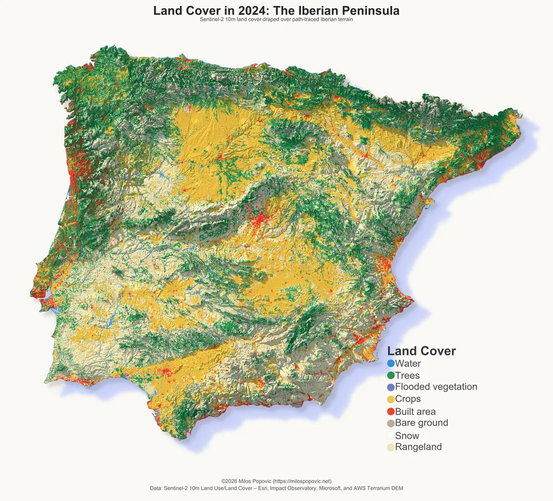
Land Cover in 2024: The Iberian Peninsula
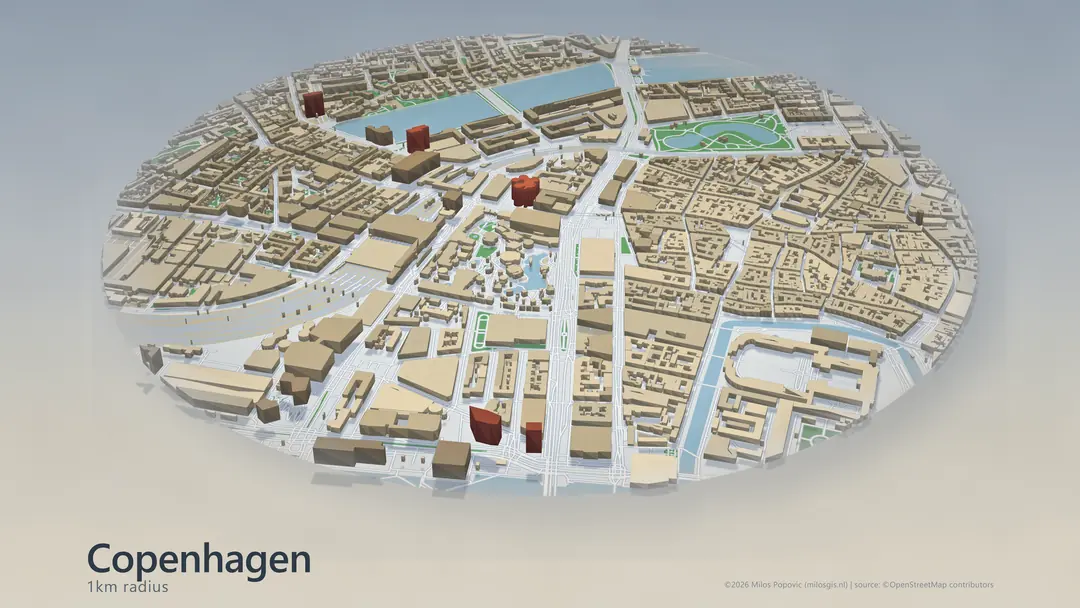
Copenhagen, City in 3D
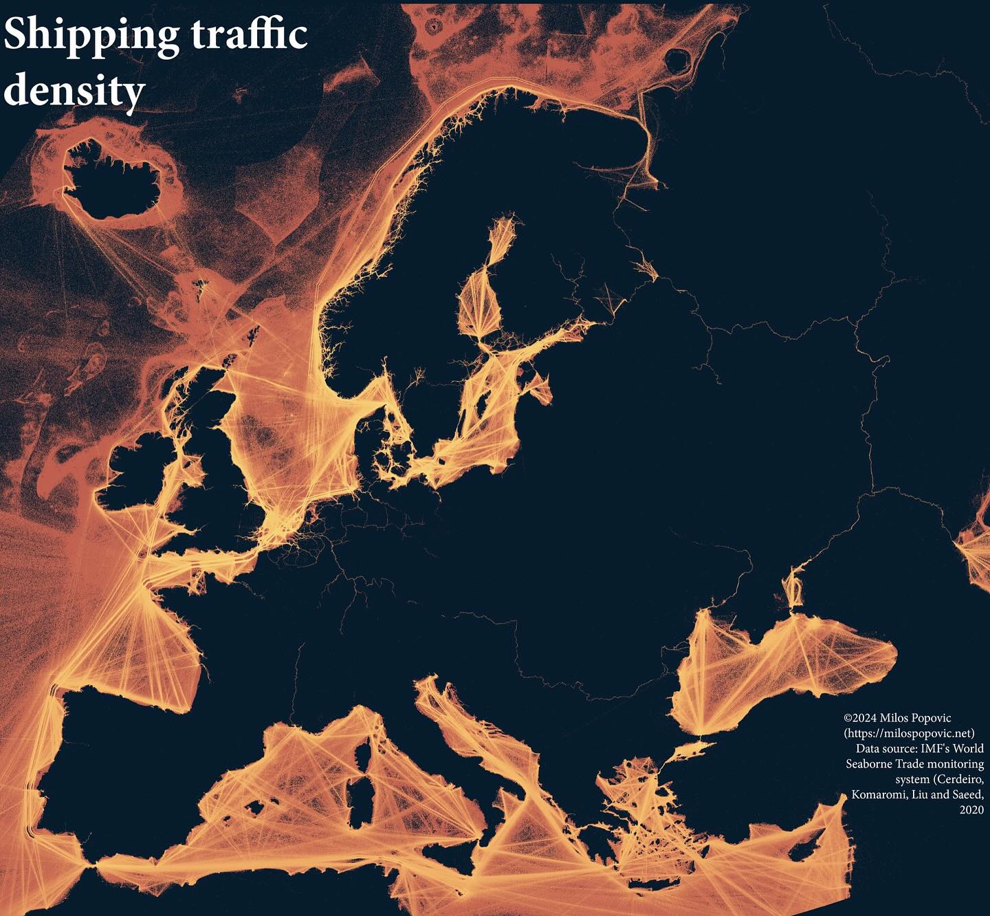
Shipping Traffic Density
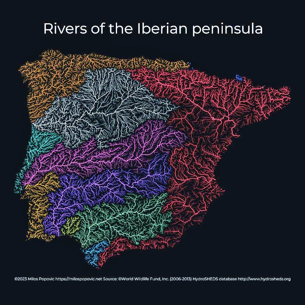
Rivers of the Iberian Peninsula
How it works
A simple engagement flow with low friction
Start with one call. If there is fit, I turn that into a scoped recommendation, a prototype path, or a delivery plan.
Discovery call
We clarify the problem, the data, and the outcome that matters.
Recommendation
I propose a focused plan, timeline, and deliverable shape.
Delivery
We move into production support, map making, or team training.
FAQ
Common questions before the first call
What happens on the first call?
We clarify the problem, the data, and the outcome that matters. You leave with clear problem framing, a recommended delivery path, and a next-step scope or prototype brief.
Do I need my data ready before we talk?
No. The discovery call is where we clarify the problem, the data, and the outcome that matters. If your data is incomplete, sourcing or cleanup can be scoped separately.
What kinds of maps and deliverables do you produce?
Static, interactive, timelapse, and 3D maps, plus dashboards. Consulting covers custom maps, spatial analysis, and visual storytelling; Forge3D Render Packs deliver report-ready 3D visuals from real geodata.
How does a Forge3D brief work?
You send your brief and data, I review scope, data, and output needs, and Forge3D renders previews from your geodata. You request scoped revisions and receive final files with source notes.
How fast do you respond?
I typically respond within 2 business days.
What timezone do you work in?
My working timezone is CET (UTC+1). I work with teams worldwide via video calls and async collaboration.
Work together
Ready to turn your spatial data into something sharper?
Whether you need a signature map, a product strategy sprint, or a training program, the fastest next step is a short consultation.